Flowing rivers are probably not the first thing that comes to mind when thinking of Greenland and its seemingly endless amount of frozen vistas. Nonetheless, scientists uncovered that there might be a substantially large one underneath the surface, flowing from deep in its interior all the way to the northeastern coast.
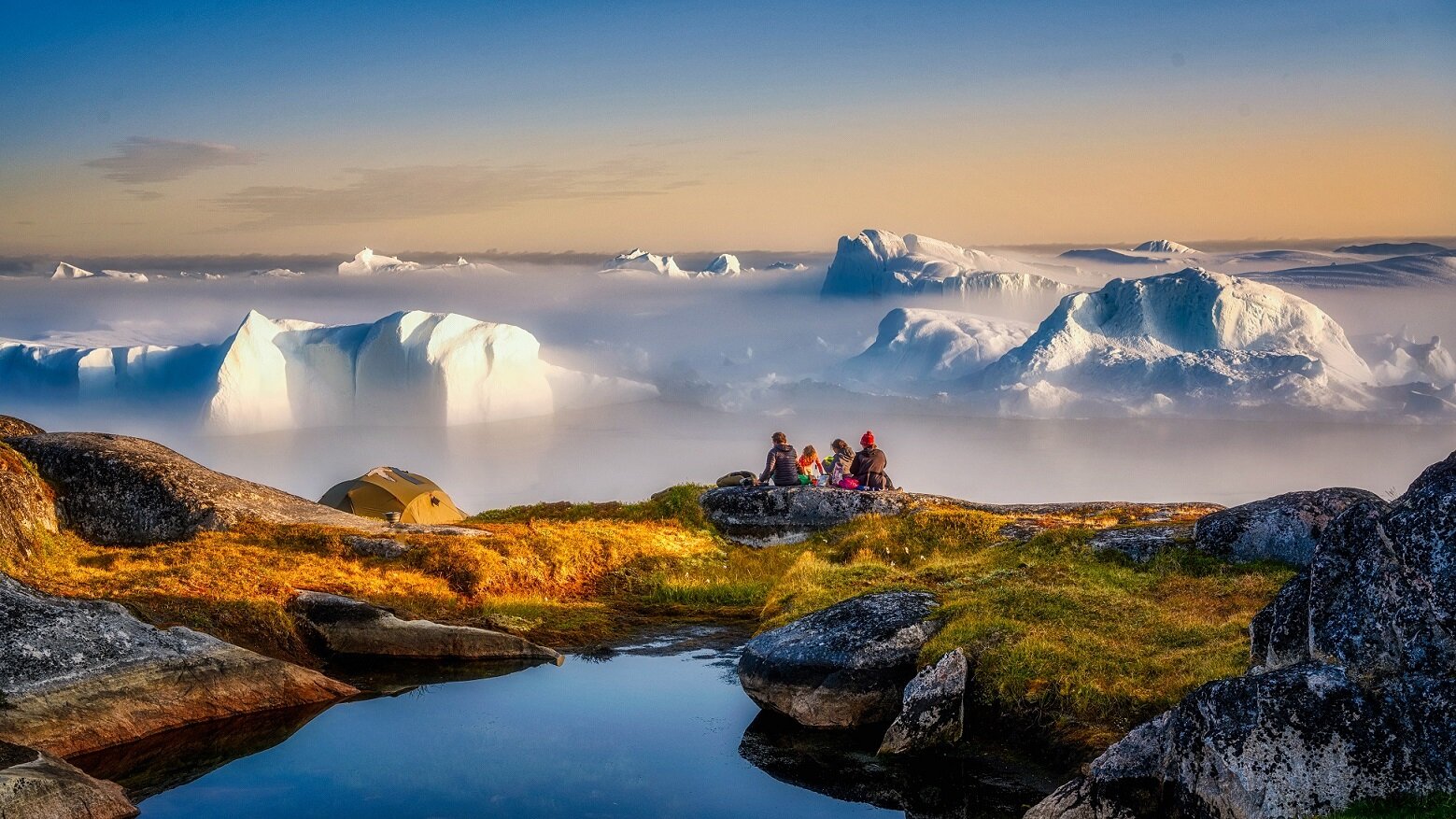
Greenland, a truly breathtaking place - Image Credit: habera via Shutterstock / HDR tune by Universal-Sci
Complex computational models complemented by basal topographic and radar data indicate that there might be an 'uninterrupted water pathway' from the center of Greenland to Petermann Fjord stretching an approximate thousand kilometers.
Greenland is covered in several thousand meters of ice. In the past, radar scans have been used to study the substructure composed of hard rock underneath it all. The remaining voids in the resulting data were then filled with the use of mathematical models, inferring bedrock depths.
A long valley underneath the ice that appeared segmented (blocking potential water flow) emerged. However, the heights dividing the valley into different sections only appeared in regions where computational modeling was used to fill in lacking data, so they might not actually be there.
Shoreline cliffs flanking Petermann Fjord. The subglacial river is expected to end somewhere in this region. - Image Credit: NASA/Michael Studinger
A research team wanted to explore what might occur if the valley was actually open in combination with an increase in melting at an area notorious for large amounts of melting ice, far inside Greenland's interior. They ran countless simulations to analyze water dynamics in northern Greenland with and without the valley segmentations that appeared in the original results.
The outcomes reveal a substantial modification in how water melting at the base of the ice sheet would flow if the valley is indeed free from blockades. An evident subglacial watercourse runs all the way from the melting in the interior of Greenland to the Petermann Fjord, stretching for over a thousand kilometers (621 miles). The subsurface river is only seen when the valley partitions are removed from the simulation; however, no other significant changes are necessary for it to exist.
According to Christopher Chambers, one of the researchers, the findings are consistent with a sizeable subglacial river. However, in a press release, he warned that substantial uncertainty remains. Stating that among other things, the scientists don't yet know how much water, if any, is free to flow along the valley and if it does indeed exit at Petermann Fjord or escapes the valley along the way. Another possibility is that the water gets refrozen en route.
The actual existence of a subsurface river could establish a fundamentally different hydrological system for the Greenland ice sheet, according to Ralf Greve, developer of the model that was used.
It will be very interesting to see the results of future radar scans to see whether the computational models made accurate predictions about the real-world situation. We will keep you posted on further developments.
The team published their research in a peer-reviewed scientific journal focusing on all aspects of frozen water and ground on Earth and on other planetary bodies, aptly called The Cryosphere. If you would like to read a more detailed description of the study, be sure to check out the paper listed below.
Sources and further reading:
FEATURED ARTICLES:
If you enjoy our selection of content please consider following Universal-Sci on social media


